|
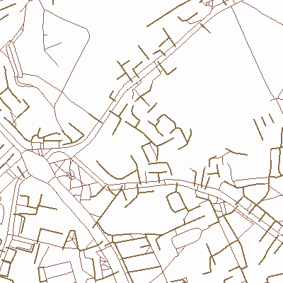
Width: 400 Height: 400 Extent:
YMin: 6178070.122301565 XMax: 320884.8142968604 YMax: 6178837.68008668 Spatial Reference: 2600 (3346) LatestVCSWkid(0) Scale: 7252.499999999845 |
| ArcGIS REST Services Directory | Login |
| Home > services > Ivaz_takai_line (MapServer) > export | API Reference |

|
Width: 400 Height: 400 Extent:
YMin: 6178070.122301565 XMax: 320884.8142968604 YMax: 6178837.68008668 Spatial Reference: 2600 (3346) LatestVCSWkid(0) Scale: 7252.499999999845 |