|
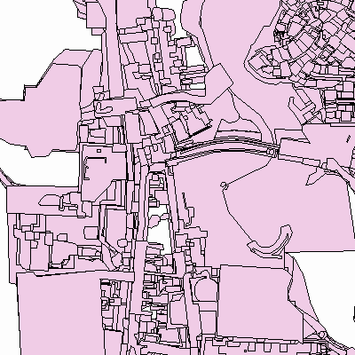
Width: 400 Height: 400 Extent:
YMin: 6182799.327049101 XMax: 320727.4165476673 YMax: 6184123.702187367 Spatial Reference: 2600 (3346) LatestVCSWkid(0) Scale: 12513.755806452293 |
| ArcGIS REST Services Directory | Login |
| Home > services > Atn_plotai (MapServer) > export | API Reference |

|
Width: 400 Height: 400 Extent:
YMin: 6182799.327049101 XMax: 320727.4165476673 YMax: 6184123.702187367 Spatial Reference: 2600 (3346) LatestVCSWkid(0) Scale: 12513.755806452293 |